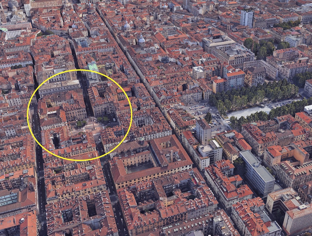
da Google Earth
Un'insula romana affacciata su piazza Savoia
Il Palazzo occupa l'isolato di Santa Brigida tra via delle Orfane e piazza Savoia, sull'asse dell'ampliamento settecentesco progettato da Juvarra e a pochi passi dall'asse di via Garibaldi. Ai confini del castro romano, caratterizzato, nel corso del medioevo, da edifici a un piano, dotati di cortili, di giardini o di orti. Mantiene inalterata la forma quadrata di insula fino al 1706, espandendosi sui terreni lasciati liberi dall'abbattimento delle antiche fortificazioni.
Calendario eventi:
Per l'arte
