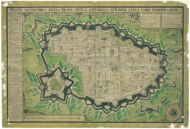
Di Ignazio Amedeo Galletti da © Archivio Storico della Città di Torino
La pianta di fine Settecento che racconta la città
La carta di Ignazio Amedeo Galletti del 1790 rappresenta con grande dettaglio la città barocca, ancora circoscritta dalla cinta bastionata. Appaiono attuati i progetti di “dirizzamento” del 1729 delle contrade di Porta Palazzo e di via di Porta Susina (vie Milano, Corte d'Appello e del Carmine), di via Dora Grossa (via Garibaldi), dal 1736 e di via e piazza Palazzo di Città, dal 1756. Tutti i grandi lavori attuati perlopiù nella seconda metà del secolo sono evidenziati, così come gli edifici maggiormente rappresentativi della città e del potere sovrano. Si possono individuare inoltre gli edifici religiosi e militari, i giardini esistenti: una vera fotografia della città subito prima delle trasformazioni napoleoniche.
Calendario eventi:
Centri urbani
