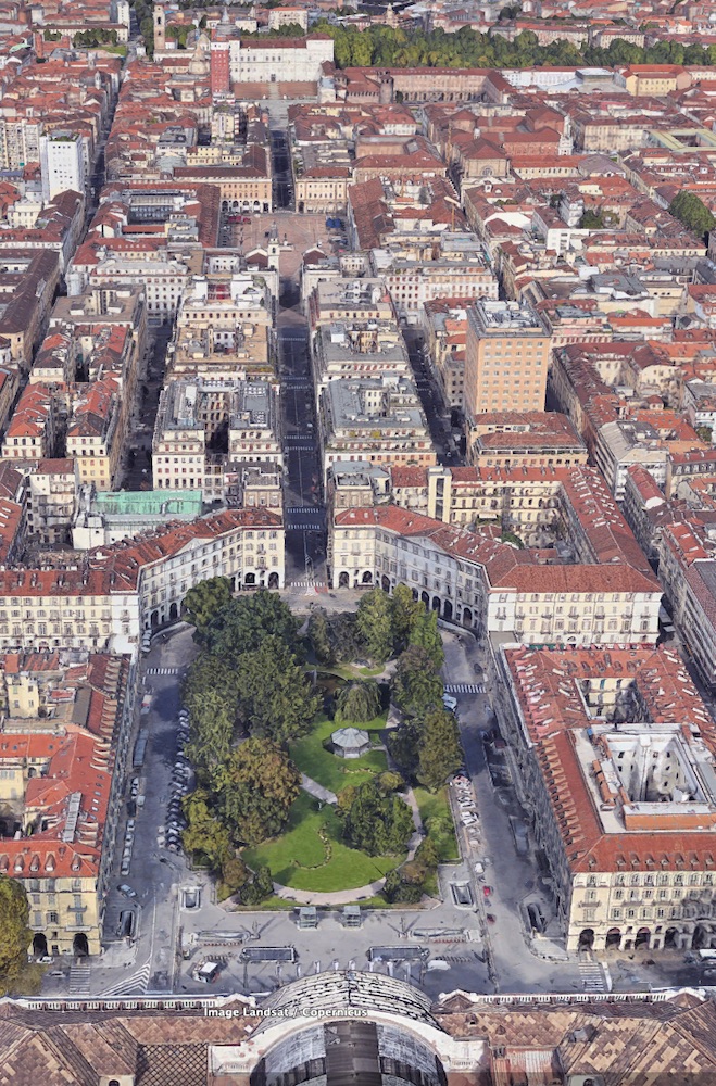
da Google Earth
Un asse tra poli fondamentali della città
Via Roma, fin dalla sua nascita all'inizio del 1600, è l'asse portante della zona centrale della città. La via, sviluppata da piazza Castello sino a Piazza S.Carlo (vedi il POI via Roma "Vecchia"), in un secondo tempo si è prolungata sino a piazza Carlo Felice, di fronte alla Porta Nuova. Al posto della porta, sorgerà nell'Ottocento la stazione ferroviaria di Porta Nuova. I suoi portici si rincorrono per una lunghezza complessiva di oltre 600 metri e, collegandosi, senza soluzione di continuità, costituiscono il nodo centrale del grande sistema porticato sviluppato nel cuore di Torino nel corso di 400 anni.
Nell'immagine, da google earth, si legge chiaramente l'asse che connette la Stazione ottocentesca al Palazzo Reale.
Calendario eventi:
Per l'arte
