Piazza Solferino Torino
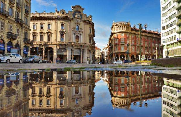
Piazza di collegamento tra la Città Nuova e la Città Vecchia a metà tra Piazza Castello e la stazione di Torino Porta Susa.
Una piazza inventata per dare un elegante attestameto a tre vie ottocentesche (Via Micca, Via Cernaia e corso Re Umberto), diventata importante con l'allargamento del passeggio borghese alla fine del XIX secolo, l'apertura dei teatri, degli alberghi e dei commerci legati allo sviluppo della Stazione di Porta Susa e al declino definitivo della presenza militare intorno alla Cittadella.
Informazioni a cura di:
Caterina Gaspardo Moro, Setareh Pedone (2019-2025)
Coordinate geografiche:
45.069387° 7.67741°
Media presenti
Contesto / Una piazza allungata
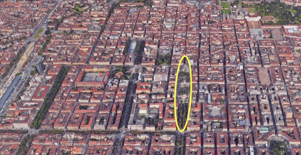
L’immagine ci mostra la posizione della piazza, a due isolati da piazza San Carlo, facente parte della Città Vecchia e ad altrettanta distanza dal mastio della Cittadella, da cui si espanse la città.
Storia / Un triangolo di vie
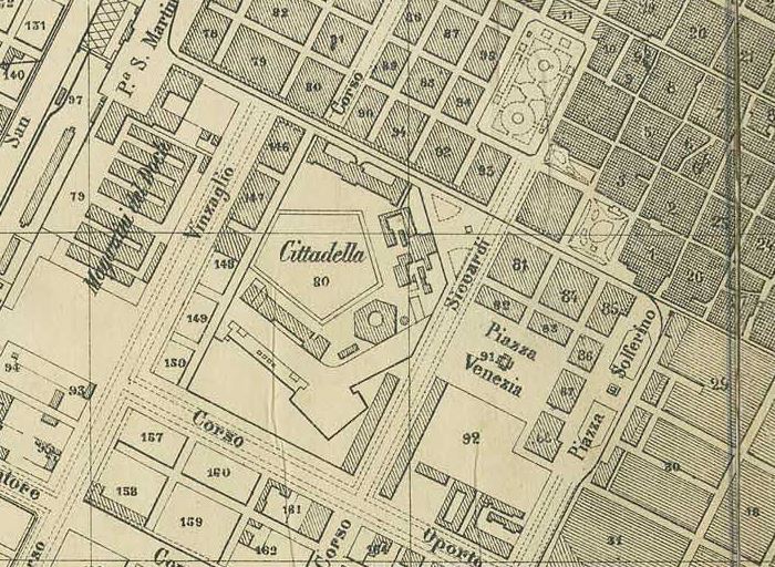
Ampliamento della città di Torino, scomparsa della cinta muraria e della cittadella, e conseguente formazione della piazza Solferino.
Architettura / Torre Solferino
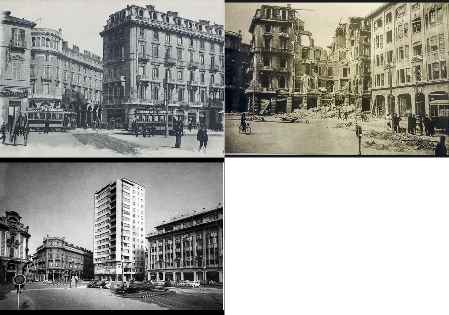
Sequenza di foto pre e post bombardamenti, che vedono sorgere la Torre Solferino sulle macerie del palazzo precedente.
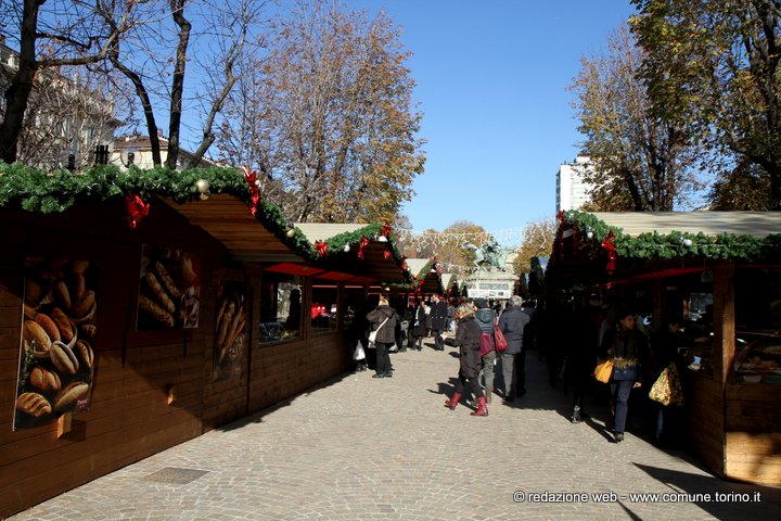
Eventi / Mercatino in Piazza Solferino
Il Mercatino di Natale 2019 in Piazza Solferino sarà caratterizzato da banchi con cucine all’aperto di dolci e altri prodotti natalizi tradizionali.
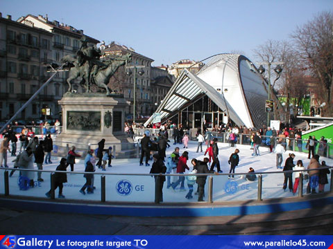
Eventi / Pista di pattinaggio
Piazza Solferino ospiterà la pista di pattinaggio sul ghiaccio per tutti gli appassionati di pattini. Grandi e piccini, professionisti e non, potranno pattinare dal 29 novembre 2019 al 6 gennaio 2020 su questa pista temporanea installata per le festività natalizie.
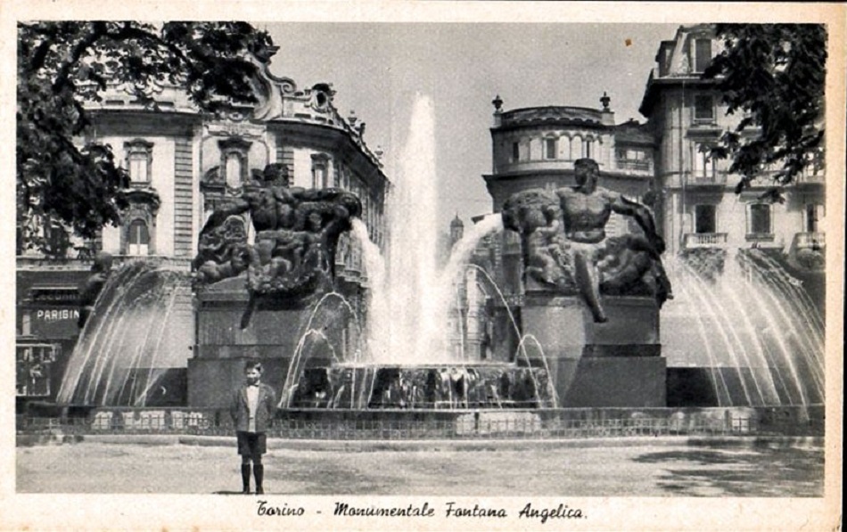
Particolari / La fontana Angelica
La fontana, di grande rilievo tra le architetture della città, prende il nome dalla madre del ministro che ne ordinò la costruzione nel 1930. Seppure l'interpretazione classica vede le due figure ai lati quali la Primavera e l'Estate ed al centro, più elevate, due figure maschili rappresentanti l'Autunno e l'Inverno, alcuni vi leggono forti simbologie massoniche, secondo cui rappresenterebbero i giganti Boaz e Jaquim, sostenitori delle colonne d'Ercole. In base alle disposizioni originarie l...
Particolari / Atrium
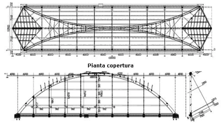
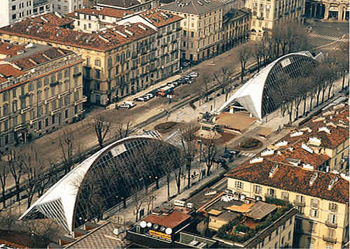
In occasione delle Olimpiadi 2006, G. Giugiaro, progetta due padiglioni denominati “Atrium”. L'idea è quella di creare una vetrina nel cuore della città quale agorà delle iniziative relative all'evento. La scelta di legno e vetro come materiali è stata fortemente influenzate dalla necessità di armonizzare antico e moderno. La struttura aveva una superficie di circa 2000 m2.
Particolari / I Gianduiotti
L'opera di Giugiaro provocò numerose perplessità negli animi torinesi. A partire dal costo di ben 5 milioni di euro per la realizzazione, ai quali si aggiunse la difficoltà di smaltimento. Il tutto si risolse quando il Comune, bandì un concorso per un parcheggio sotterraneo nell'area della struttura, affibbiando l'onere di smaltimento di Atrium alla ditta appaltatrice. Furono nuovamente i torinesi ad attribuirgli il nome di “Giandiuotti”.
Racconti / Bar Norman (Ex Voigt)
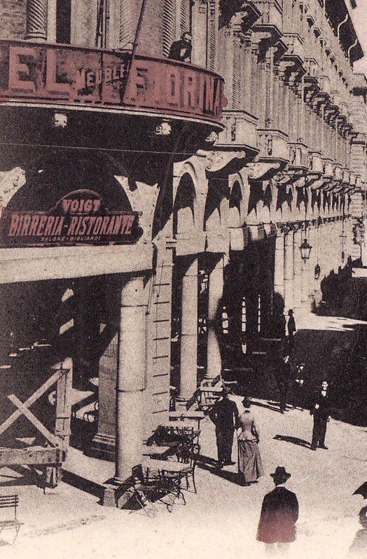
Immagine dell’insegna del bar Voigt, all’angolo con via Pietro Micca.
Racconti / Le foche fanno il bagno in piazza
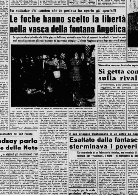
La “stampa sera” del 19 Novembre 1958, recava questo titolo “Le foche hanno scelto la libertà nella vasca della Fontana Angelica “. Ebbene non si trattava di uno scherzo, poiché pare che in quei giorni passasse da quelle parti un rimorchio che trasportava quattro foche da circo e che queste, attirate dal richiamo dell'acqua, avessero rotto la rete e vi si fossero tuffate, intrattenendo i passanti ed il pubblico del vicino teatro, con esibizioni acrobatiche.

