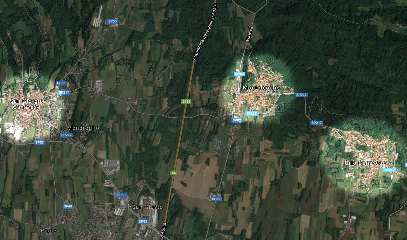
 Montalenghe Montalenghe

Di Google Maps
Dei confini difficili
L’area del comune è ben delimitata a nord, all’altezza di Mercenasco. Tuttavia, nel corso dei secoli sono state numerose le controversie sui confini settentrionali, principalmente per via della conformazione territoriale. Protagonisti della disputa, iniziata tra XV e XVI secolo e conclusa nei primi anni dell'Ottocento, erano Orio e San Giorgio. Con il primo comune si stabilì la costruzione, a spese di entrambe le comunità, di un fossato di demarcazione. San Giorgio, invece, aveva un diritto di territorialità su 100 giornate di Montalenghe, pertanto si giunse all'acquisto da parte di Montalenghe sia di 10 giornate di San Giorgio, sia del diritto di territorialità. La vicenda si sviluppò nei decenni a venire, arrivando a coinvolgere persino una piccola cascina che intersecava i territori, ma non sfociò mai in una ad radicale crisi degli assetti territoriali; piuttosto, fu il pretesto per ridefinire i rapporti tra le varie comunità, che di volta in volta cedevano o arretravano fornendo garanzie reciproche e piccoli potenziamenti delle rispettive risorse.
Un'immagine satellitare mostra l’attuale disposizione dei confini.