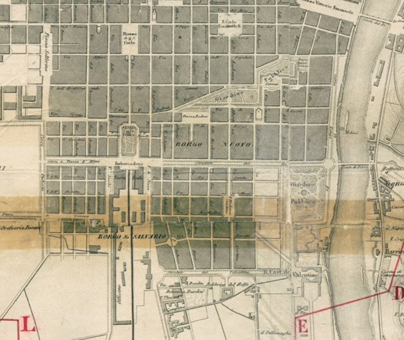
da Archivio storico Città di Torino
L'ampliamento verso Sud
Lo sviluppo urbano del quartiere prende forma a seguito dell'approvazione del "Piano Regolatore pel Borgo San Salvatore" del 1846. L'espansione della città verso sud risulta l'unica praticabile, in quanto a nord si trovano gli impiati industriali e a ovest le servitù militari adiacenti la Cittadella. Le strade del nuovo ampliamento si attestano sulle medesime direttrici di quelle preesistenti a nord del viale del Re (corso Vittorio E.). L'arteria pricipale è Via Madama Cristina, in prosecuzione della via dell'Arco (via Accademia Albertina), prevista inizialmente come strada porticata.
